Assets and downloads
On this page
Assets and downloads
This page lists some datasets that are either generated or used by OGGM and that can be useful to others.
Shapefiles of glacier centerlines, flowlines and widths
These variables are a standard output of OGGM, and can be useful to many. You will find the files here: https://cluster.klima.uni-bremen.de/~oggm/assets/oggm_v1.4/centerlines_shapes.
The following files are available:
RGIxx_centerlines: the geometrical centerlines
RGIxx_flowlines: the centerlines converted to “flowlines”, i.e. interpolated to a regular grid and where upslope trajectories are cropped
RGIxx_geom_widths: the geometrical intersection of the flowlines’ normals with the glacier outlines
RGIxx_widths: the geometrical widths corrected to reflect the glacier’s elevation-area distribution
If you use these data, please cite Maussion et al., 2019.
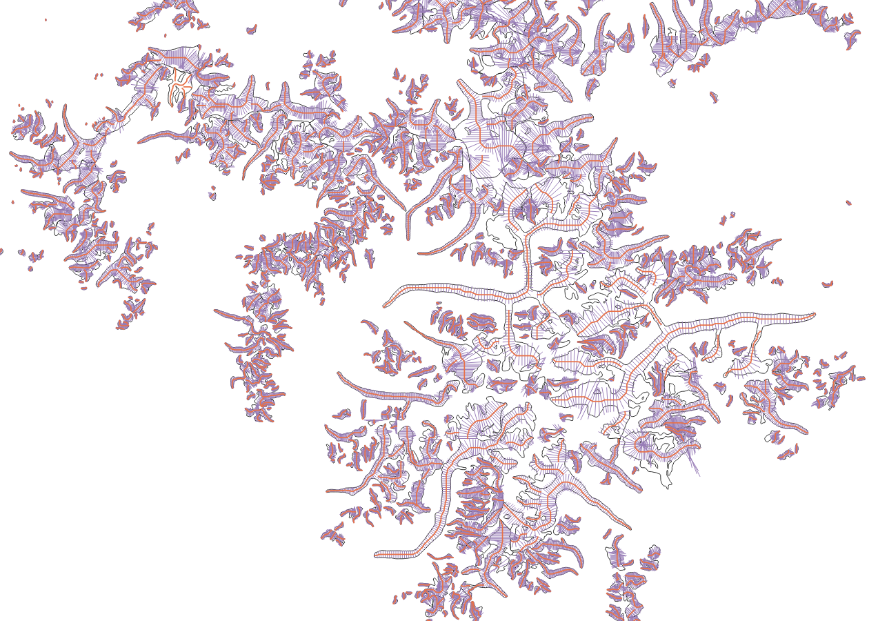
Shapefile of OGGM’s flowlines and widths for a subset of RGI region 15
RGI-TOPO
The RGI-TOPO dataset provides a local topography map for each single glacier in the RGI (currently version 6). It was generated with OGGM, and can be used very easily from the OGGM Shop (visit our tutorials if you want to learn how to use them!).
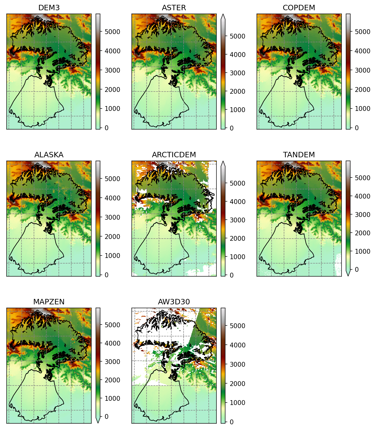
Example of the various RGI-TOPO products at Malaspina glacier
Useful data tables
These data are tabular summary from available global datasets:
https://cluster.klima.uni-bremen.de/~oggm/rgi/rgi62_stats.h5: the global RGI stripped from the geometries
https://cluster.klima.uni-bremen.de/~oggm/g2ti/rgi62_itmix_df.h5: ice volumes from [Farinotti_etal_2019] in tabular form
https://cluster.klima.uni-bremen.de/~oggm/geodetic_ref_mb/hugonnet_2021_ds_rgi60_pergla_rates_10_20_worldwide_filled.hdf: glacier geodetic mass balance data from Hugonnet et al., 2021 <https://www.nature.com/articles/s41586-021-03436-z>_ corrected for RGI region 12 and missing glaciers, in tabular form
an example of OGGM output summary from the pre-processed directories. Useful outputs include terminus position, topographical variables, etc.
HDF files can be read with pandas’ read_hdf function.